It is once again time to take a look at map resources in the Archives. You can catch up by taking a look at my previous post, covering plat maps. This time, I’m looking at the state as a whole, specifically, the counties.
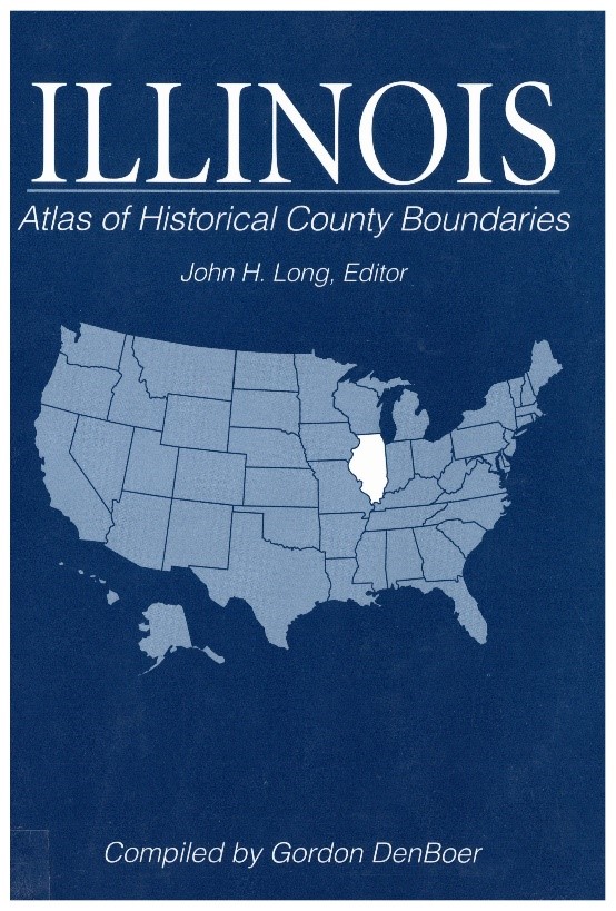
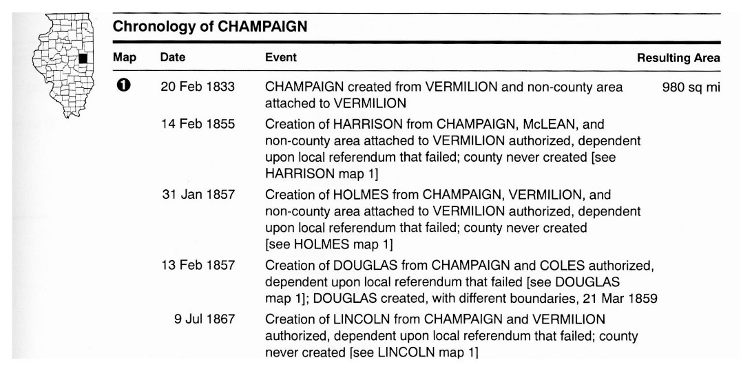
Illinois: Atlas of Historical County Boundaries, complied by Gordon DenBoer, explores the layout and composition of the counties in Illinois. It also includes the chronologies of each county. These timelines include information such as the gain and loss of land to other counties, creation of new counties, counties that were proposed but never realized, and counties that have gone extinct.
Here is the chronology for Champaign County:
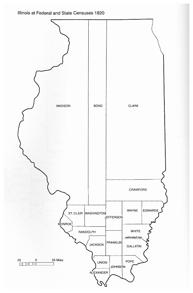
In the back of the book, there are maps that show how past county lines evolved over the years. This map illustrates that in 1820, Illinois was divided into only 19 counties.
Today, the state has a total of 102 counties. The map has remained mostly unchanged since 1860.
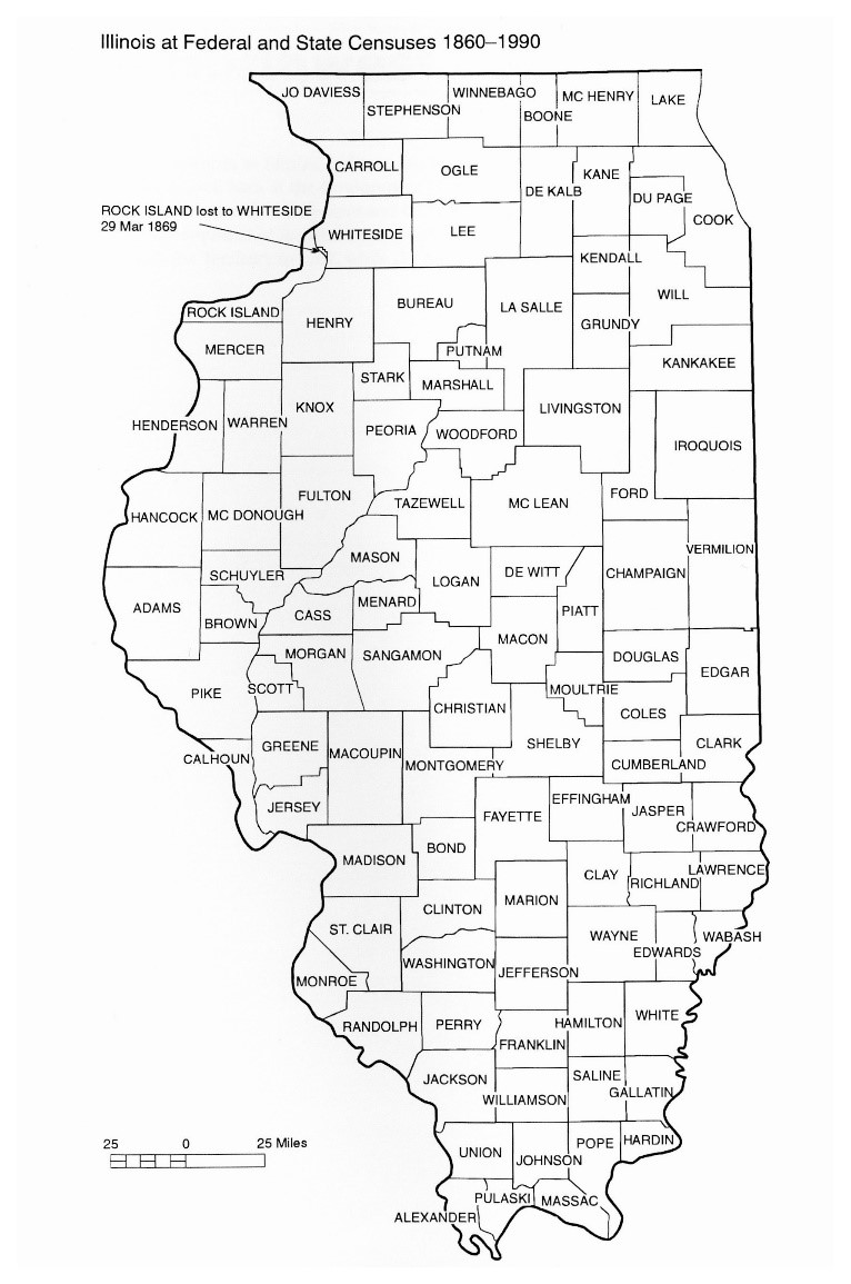
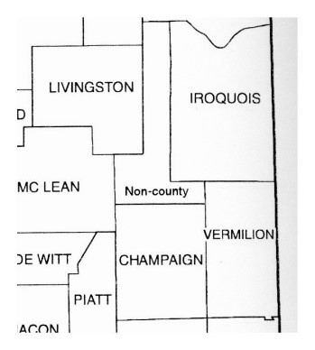
For a while, between 1845 and 1860, what is now known as Ford County used to be a space not belonging to any county. It was a “non-county.” This was despite the fact that it was surrounded by several other counties.
In addition to this book on Illinois counties, the Archives has similar books featuring other states such as Florida, Kentucky, Mississippi, and South Carolina. Come in and see for yourself how much the states have changed throughout the years!
-Shalini Smith
Archives Librarian
